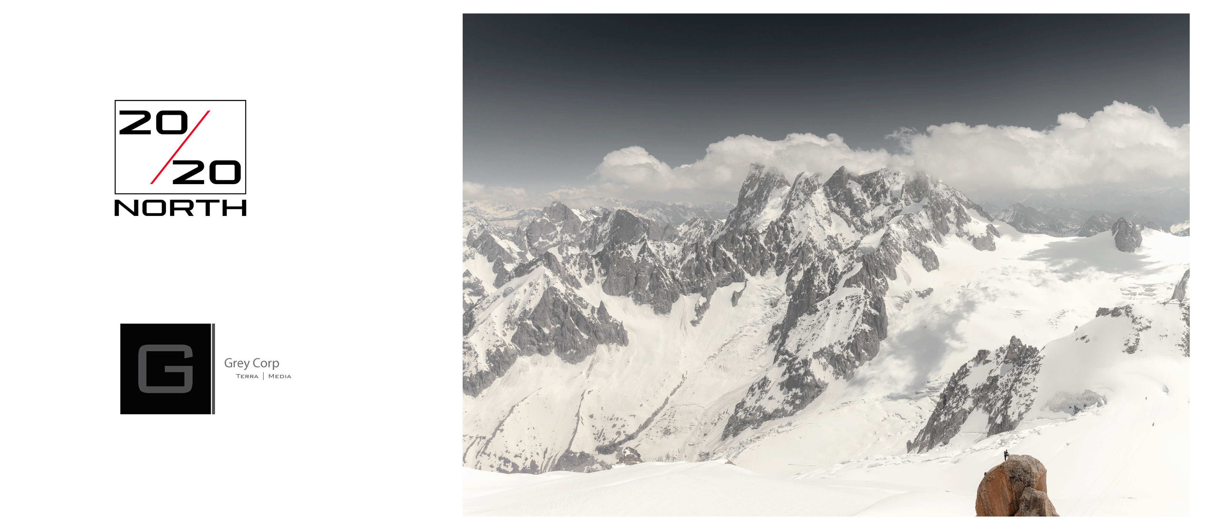
20/20- North
20/20: NORTH
A museum-grade photographic and archival record of transformation across the North and alpine headwaters.
20/20: NORTH is an art-led, large-format photographic and archival project documenting disappearing glaciers, headwaters, ecosystems, Indigenous communities, working landscapes and the industrial systems shaping their future.
The project is built around sustained fieldwork and monumental stitched medium-format photography. Its purpose is to create a primary visual record of places and relationships undergoing irreversible change—made with the technical quality, depth and care required for long-term institutional stewardship and public access.
This is not a scientific glacier-monitoring program. It is a photographic and archival record authored through direct, sustained engagement with the land, the people connected to it and the systems that depend upon it.
The current build
Phase I — Years 1–3 is the defined current scope of the project. It includes:
- Core field production across the Arctic, the North and alpine headwaters
- Construction of a preservation-grade digital archive
- Monumental large-format photographic work
- Initial publication and exhibition development
- Public-facing educational and institutional materials
- Preparation of a master record for long-term stewardship
The project’s geographic arc begins in the North American West and Arctic, continues through Canada, Greenland, Iceland, Svalbard and Norway, and extends into the European Alps and Chamonix.
Four interlocking layers
- Ice — glaciers, ice fields, snowpack and meltwater
- Animals — non-human lives bound to changing climates
- Human communities — Indigenous stewards, workers, families and scientists
- Industrial and policy edges — ports, roads, vessels, energy systems and the decisions shaping the North
What the project will produce
- Monumental stitched medium-format panoramas
- A curated, preservation-grade digital archive
- A sumo-format photographic book
- A museum-scale print and exhibition program
- Educational and public-access materials
- Selected institutional-use assets for conservation, cultural and public-interest programming
The work is designed to support existing conservation, education and public-stewardship efforts by making transformation visible at human scale and by creating a durable record that can remain useful to institutions, communities, researchers and the public.
Stewardship and institutional pathway
20/20: NORTH is being developed for long-term institutional care, responsible public access and future exhibition and educational use. Institutional relationships and engagement include Parks Canada, UNESCO and other conservation, scientific and cultural partners, with specific roles and uses governed by appropriate written scope and approvals.
Later repeat visits, longitudinal documentation and expanded public releases may be developed after Phase I through separate funding and partnerships. They are not assumed commitments within the current build.
Led by
Andrew Wilz — Founder and Expedition Lead; former World Cup snowboard and ski athlete; Strategy MBA; internationally recognized commercial and landscape photographer and creative director.
For the one-page overview, Phase I scope and current partnership opportunities, please contact:
Andrew Wilz
+1.970.274.1819
*The documentation window is closing. 20/20: NORTH is designed to create a primary record while these landscapes, systems and relationships can still be documented directly.
'...maybe, We'll finally change...With a lesson'. - Seal